Heres an interesting little project for a raining day.
Using
Google Earth type in some of the locations from our
locations page to get detailed map and close up satellite imagery of the filming location and area. (you can zoom in and out and drag the maps and images around to see what you like)
Theres below 2 pictures are examples of the kinds of views you get with Google earth. If you haven't seen it or downloaded it yet (it's free from Google) it's a great tool and toy and great fun flying all over the world looking at things. it works best with high speed.. but is exceptable with dial up if you willing to wait for a couple of minutes for the images to load.
close up of the top of the "phoenix foundation" building (west coast energy)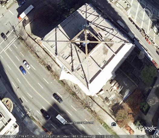 higher angle showing a little more of the street and surrounding area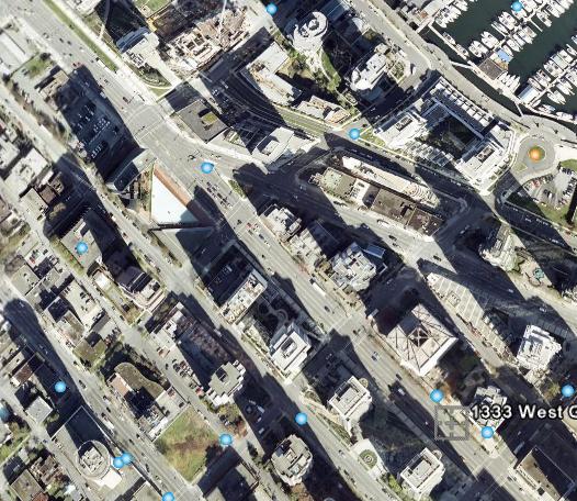


 The detail and age of the images for the area I live in is disappointing (windows live local is a bit more up to date and more detailed for my area) but I know the area so don’t need to explore it from the air
  .
. 


 j/k!
j/k!
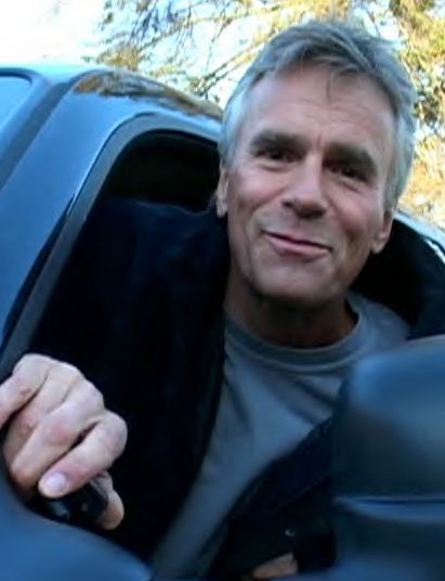
 They are... can't you see me waving?